Navigating

​Tip-toeing Around Monsters

When you picture a cloud, you probably see the white puffy part hovering high in the sky. The base is clearly visible above the horizon and the top of the cloud is also in view. These are happy clouds that grace you with shade on a hot ocean day!

Monster clouds are the ones that rise up over the horizon with no visible base. These clouds are so massive that they are located somewhere beyond the curvature of the Earth yet they still take up almost half of the visible sky! These are pressure systems, so massive that they have a different air pressure than their surroundings.

If you are in a high pressure with clear blue skies, these low pressure monsters will look like massive white hazes in the distance. If they are far enough they will look like a white dome, if they are closer, just a hazy white horizon. The winds in these creatures can be quite powerful, so it is best to avoid them.

To do this, you choose your course based on where they are going and stay out of their way. You are a literal ant in a room full of elephants when you are sailing the ocean blue. Don't get stepped on!

Day 23 Azores

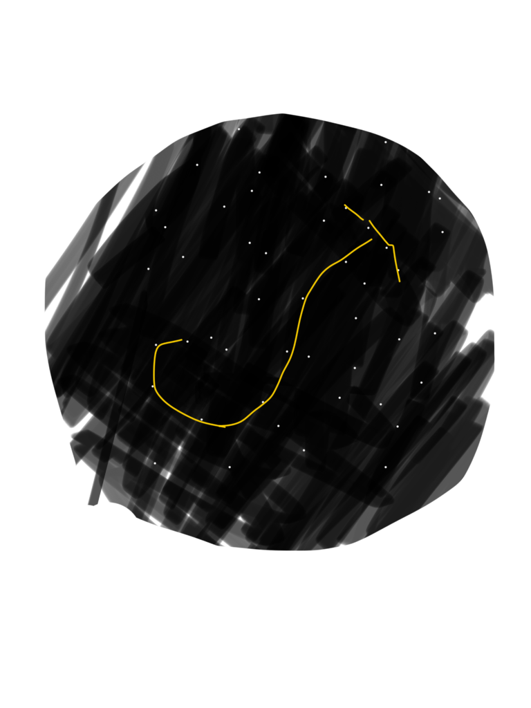
I just saw a magnificent shooting star. It was slow and left a thick yellow trail. I don't know whether to look up or down. The bioluminescence is especially brilliant tonight, but the stars have also never been more clear. The night isn't dark. It's radiant. Today we approached Corvo. It rose up to greet us like a giant gray shadow. As we sailed closer and its details came into focus, I lost my breath. It was equally lush and harsh. It served as the perfect beacon as we entered the Azores. Now we are only 75 miles from our destination and the whole trip suddenly feels like a dream that I'm about to wake up from. Only instead of Florida or Bermuda, I'll be in a mountainous fairy land. We have worked so hard for tomorrow. It will be a relief and a wonder. I think I might cry. Until then, I have Scorpio beside me, and the rest of the sky.

IMG_2740.PNG

Time Zones on the Ocean

When crossing an ocean East to West or West to East, you will be crossing many time zones.

Time zones are an artificial creation  by humans to help organize our days in a predictable fashion. It is much easier to proclaim that the work day starts at 9am and ends at 5pm and not have to specify where this time is taken and how to convert to your local time.

Time zones change 1 hour every 15 degrees of longitude. This means as you sail across an ocean, every 15 degrees will mean that your clocks will change by an hour.

You have a few choices here on the matter, you could keep your clocks on the same time as the country you departed from or the country you will arrive at, and simply deal with the variance in sunrise and sunset times. You could also adjust your clocks as you progress across the ocean. And lastly, you could ignore the constructs of time zones all together and live by UTC time.

We are buddy boating across the Atlantic with an Australian couple on "Adventurous" and they are advancing their clocks by 1 hour as they cross the time zones.

Maddie has not adjusted the time zone on her phone as we have sailed across two time zones, so it has its own time. I have set my phone to UTC time and simply ignore the constructs of time zones all together.

For me, noon is when the sun is directly overhead. That is when I take the moon sight with the sextant. Time zones make it difficult to know which hour I should be getting ready to take the sight. As we advance East, I know it will be a few minutes earlier than last time. At this current moment, I start getting my sextant ready at 3pm UTC. I am ready and I don't miss the sun.

Now, timezones make it easy for daily living if you live by a clock. You eat breakfast at this time, you eat dinner at that time, you awake at this time, you sleep at that time. But while cruising, all of that can go over the side of the deck! We sleep when we are tired and we eat when we are hungry. Some days, we have one meal, other days are spent cooking and eating in entirety! Since time is immaterial to us, I feel fine having a clock that simply tells me my latitude instead of how to live my life.

With watches Maddie and I don't really follow a time schedule. Instead she does first watch until she is tired. I do the next watch until I am tired. This way, neither of us is forced to be out there if we are falling asleep.

When crossing an ocean, time is a construct that you can use or be used by. On the boat, the choice is yours since no one is telling you what to do.

Forecasts

We all know the joke, how can the meteorologist be wrong so often and still keep their job?! They say it will rain and it's sunny, they say it will be sunny and it pours! Out on the ocean, it's no different.

We have friends on shore giving us weather information for our area as well as downloading Weather Fax broadcasts. The information was a total shot in the dark.

The wind speeds were always off, air pressures were usually close but still off, but the wind direction was pretty spot on.

My favorite was when we were stuck in the doldrums and our friends on shore asked why we weren't moving. "The weather app says you should have 15 knots of wind" yet we were becalmed for a week!

After a while, I stopped downloading the weather faxes too. It seemed that I could get a more accurate weather forecast by asking a passing seagull.

When we left Bermuda for the Azores, I didn't even bother to check weather forecasts. I checked to make sure no hurricanes were coming and then went to sea. Our friends kept telling us to head north of the rhumb line to avoid a massive high pressure system that would have no wind, yet day after day, the clouds said we would have wind and wind we would have. Winds varied between 20 and 30 knots for the entire week, while the forecast said we would have winds of under 10 knots where we were.

A week into our voyage, we did turn north because the clouds of a high pressure system appeared in the far off distance. I did not fear losing wind because I keep us surrounded by clouds that have wind. Storms, squalls, and good winds can all be seen by looking at the sky and reading the clouds.

This is how you get your forecast for what is happening now where you are. If you know how to read the clouds, you can even get hints about what's coming tomorrow and the next day! No data or internet connection required, just a barometer and a weather eye to keep you in good winds as you cross the ocean.

Ocean Navigator Mentality

​When we first started cruising, the goal was to cross the Atlantic Ocean. We wanted to sail to Europe via Bermuda and the Azores, to give us stopover points along the way. While our hearts were in the right place, we still were not mentally ready to go.

When we sailed out of the Chesapeake Bay, I viewed our position as "miles from shore" or "miles from the coast." I hadn't let go of land and was not ready to go out to sea, even though I really did want to!

We left the bay and hugged the coast as we made our way down to Cape Hatteras, where we were forced to move offshore to avoid the Diamond Shoals. The "Graveyard of the Atlantic", home to more wrecks than any other place in the Atlantic Ocean, extends a mere 14 miles out to sea. To be safe, I positioned us at 20 miles from the coast. 20 miles! And to think I was planning to cross an ocean!

We got wrapped up in a gale and spent the next four days hove to. The storm carried us 50 miles from shore and I started to get nervous! I feared that the storm might sweep us into the Gulf Stream and push us very far north while we were still trying to make our way South. When we reached 50 miles from shore, I took the helm and brought us around the cape and back into shore.

The valiant sailor who wants to cross an ocean returns to shore after an 8 day voyage, 50 miles from land...

We then hugged the coast all the way down to Florida. It was a mix of ICW down to Charleston, SC, where at one point we were several miles inland sailing on a freshwater river. Once we hit South Carolina, we began coastal hopping. We would wait in a town for the weather to be right and then hop out into the ocean to ride a cold front south. The winds were strong and we made the whole trip from Charleston, SC to West Palm Beach, FL under trysail and staysail! These strong winds carried us quickly, but never far from shore. The furthest out we got was still under 30 miles from land.

Then we made the great leap to the Bahamas! A mere 50 miles with land at your stern as you sail off over the horizon. This baby step came with much fear and trepidation since we were going to go offshore and away from land! I had my nervous panic the night before we left and Maddie calmed me down and talked me through it. The next morning, we left and in two days we arrived at West End, Grand Bahamas! A switched flipped in my head, but I just hadn't realized it yet.

We sailed from island to island, and the practice of putting land to your stern and sailing toward an empty horizon started to feel normal. It really clicked when we made the windward sail from Nassau to the Exumas.

This 37 mile passage took us 5 days and over 150 miles under our keel! We left Nassau and didn't see land for a week! When we arrived in the Exumas, the thought of leaving land behind and spending a lot f time at sea felt less scary. The world changed in perspective from "our position to land" to "our position."

When we left the Bahamas to reprovision in Florida, we left Staniel Cay behind us and sailed past many islands over the next few days. We arrived in Florida and anchored as if we were returning from a daysail. Arriving at land didn't feel impacting or emotional, it just felt like we were here so that we can leave again.

Then we did the big shove off when we left Florida for Bermuda. This was to be a 700 mile voyage that should take 7-10 days. There were no jitters or fears, no nagging feelings about preparedness or apprehensions about leaving land behind for such a long journey. We simply raised anchor and went out to sea. We sailed away from Florida and encountered no wind. The short trek took us 20 days to complete! In those three weeks, my grasp on reality changed.

I no longer view our position in the world as being relative to anything else around us. I no longer listen to weather forecasts, or anything that is not on this boat. When we go to sea, we are everything right here on our lonely ocean world with nothing but waves and clouds in sight. We are in the center of what we can see and we are moving forward towards our far off destination. We are not "miles from anything" because we are right here right now.

We look at the clouds for our weather forecast and we look at the stars for guidance (as well as our GPS). We are merely here.

When we left Bermuda for the Azores, there was just a feeling of peace. We sailed out of St. George's Harbor and didn't even look back to see the land disappear over the horizon. We had departed and our world was now the boat, and the boat is right where we are. We set a course for the Azores and relaxed as we crossed an ocean.

IMG_2736.PNG

I look back on our first attempt to cross the Atlantic last year and realize the difference in mentality. Yes, had the weather been better, we would have crossed the ocean, but I would not have been as relaxed as I am now. I would have constantly been calculating how far from land we were instead of sitting back and watching the sunset over our little visible disk of ocean.

If you want to do blue water cruising, don't think of it as going far out to sea. Picture it as being right where you are. You should not base your perspective on some distant point of land, instead, your world should be focused around you on your boat; wherever that may be.